When will snow hit the UK this week? The Met Office shares forecast
A cold spell was in store for parts of the country on Friday, with lower temperatures bringing a temporary halt to the recent warm weather that brought the hottest day of the year so far.
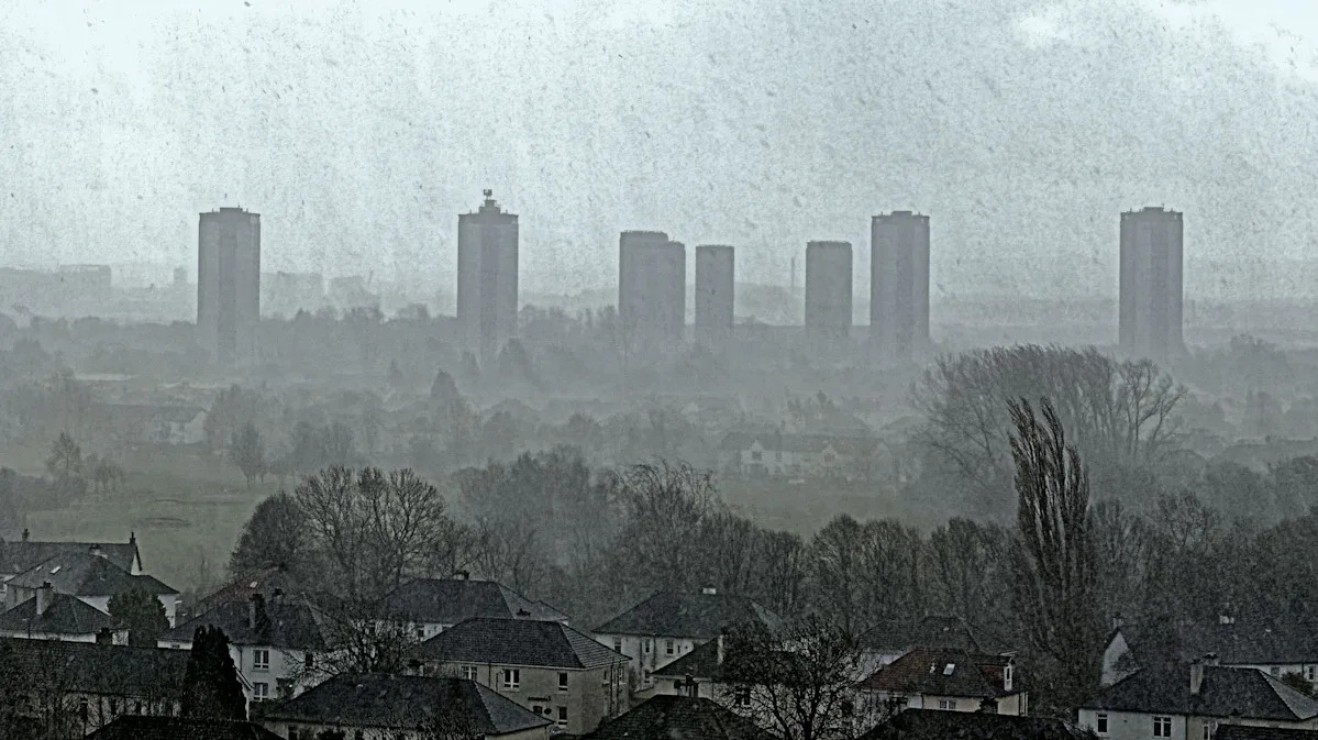
Some parts of Scotland could be waking up to snow and ice, with a yellow weather warning in place up until 9am on Friday warning of potential travel disruption due to frequent snow showers.
A “widespread frost” is forecast for Friday night, but despite a cold spell, temperatures will lift over the weekend and turn slightly milder.
Nevertheless, the coming days are somewhat different from the 19C experienced in parts of the UK just last week.
Jason Kelly, chief operational meteorologist at the Met Office, said previously: “A notable shift in wind direction to a north-westerly flow will bring a markedly colder day nationwide on Friday, with the potential for a mixture of sunny spells, heavy showers, coastal gales, and snow over high ground.”
He added: “There’s also the possibility of accumulations on lower hills, too.”
Snow showers in Scotland might not be the only appearance of the white stuff this month, with the Daily Express, citing data from WXCharts, reporting that there will be widespread snow across the UK between 19 and 21 March.
However, the Met Office has pointed out that it is very difficult to predict snowfall, whether that is weeks or even several days in advance.
However, in its long-range forecast for Tuesday 17 March to Thursday 26 March, it has said the UK is due a period of more settled weather, though there is the potential for frost and fog.
Snow is expected over much of Scotland, northern England and Northern Ireland on Friday morning.
(Met Office)
It said some wet and windy weather is likely across the northwest especially, but that is likely to turn more settled from midweek onwards.
“By the weekend most, if not all of the country should be predominantly dry,” it added. “Its possible we could see some overnight frost and fog, but by day there should be spells of pleasant spring sunshine making it feel warm away from coasts exposed to a brisk easterly wind.
“How long the settled conditions last is less certain with some signals that showers / rain could return later in the period, perhaps the south most prone to this.”
However, that doesn’t mean cold weather is disappearing completely, with the chance of cooler temperatures returning in the period between Friday 27 March and Friday 10 April.
“Blocked, or slowly evolving, weather patterns are favoured for late March into early April, with high pressure probably building to the north or northeast of the UK,” the long-range forecast said.
Temperatures in Scotland will dip on Friday morning.
(Met Office)
“Whilst confidence is low in how this will influence the weather across the UK, this tends to lead to a more prolonged period of a certain weather type, be it settled or unsettled,” the Met Office said.
“In any case, a reduction in Atlantic-dominated weather patterns is likely, although some wet weather remains possible at times, perhaps more especially in the south and east whilst northwestern areas tend to be drier than average.
“Temperatures will probably be close to average for the period as a whole, but there is an increased chance of some colder conditions developing for a time with a risk of frost.”
What weather warnings are there in the UK right now?
One yellow weather warning remained on Friday morning, for snow and ice in Scotland.
The warning was due to lift at 9am on Friday, and warned of potential travel disruption due to frequent snow showers.
The Met Office had said that blustery wintry showers were due to affect central and northwest Scotland during Thursday afternoon and evening but were expected to become more frequent during the second half of the night before easing on Friday morning.
It said 2-5 cm of snow was expected fairly widely across the area, with 10 cm possible in places above about 350 metres.
A yellow weather warning remained in place up to 9am on Friday.
(Met Office)
Why isn’t there more detail in a long-range forecast?
The Met Office’s long-range forecasts usually only refer to the UK as a whole, rather than being location-specific.
This is because, when you look at forecasts beyond five days into the future, the “chaotic nature of the atmosphere starts to come into play”, the Met Office explained, adding: “Small events currently over the Atlantic can have potentially significant impacts on our weather in the UK in several days’ time.”
It said the long-range forecast – which is updated daily – provides an indication of how the weather might change or differ from normal, such as becoming warmer, colder, wetter or drier, across the whole of the UK.
“Met Office meteorologists consider output from a range of weather models when writing these forecasts,” it added.
Yahoo breaks down what the weather will be like for each region of the UK, according to the Met Office.
London and the South East
A largely dry and bright day with light winds and sunny spells. Cloud increasing through the afternoon, with a chance of isolated showers in the east in the evening. Maximum temperature 11 °C.
Dry start, then rain and strong winds spreading east Sunday. Cooler with showers following. Breezy and cloudy but mostly dry Monday and Tuesday, becoming mild.
South West
A drier day compared to Friday with sunnier spells than of late after a chilly start. A few showers still possible though, especially in the west. Generally light winds. Maximum temperature 10 °C.
Changeable with patchy rain followed by showers on Sunday. Drier on Monday although with further patchy rain arriving later and into Tuesday. Gradually turning somewhat milder, though breezy at times.
Midlands
A largely dry and bright day with light winds and sunny spells in the East Midlands. An outside chance of isolated showers later in the afternoon and evening. Maximum temperature 10 °C.
A much drier day on Saturday in the West Midlands with sunny spells after a chilly start, though an isolated light shower still possible, perhaps wintry. Lighter winds than of late. Maximum temperature 10 °C.
Rain and strong winds spreading east in on East Midlands on Sunday, then colder with showers following, wintry over hills. Breezy and cloudy but mostly dry Monday and Tuesday.
Changeable with patchy rain followed by showers on Sunday in the West Midlands. Drier on Monday, although with further patchy rain arriving overnight and into Tuesday. Gradually turning somewhat milder, though breezy at times.
North East
A largely dry and bright day with light winds and sunny spells. A chance of isolated showers later in the afternoon and evening. Maximum temperature 10 °C.
Rain and strong winds spreading east Sunday, then colder with showers following, wintry over hills. Breezy but dry start Monday, with evening rain. Windy and cloudy Tuesday, but mostly dry.
Crocuses in bloom at Wallington Halls walled garden in Northumberland on Thursday 5 March, the hottest day of the year so far, when temperatures peaked at 19.2C.
(Owen Humphreys – PA Images via Getty Images)
North West
A much drier day on Saturday with sunny spells after a chilly start. A few showers, perhaps wintry, pushing in during the evening. Lighter winds than of late. Maximum temperature 9 °C.
Changeable with patchy rain followed by showers on Sunday. Drier on Monday with further rain arriving later and into Tuesday. Gradually turning somewhat milder, though breezy at times.
Scotland
Another bright day with sunny spells and showers, wintry on hills, the showers heaviest and most frequent in the west. Occasionally fresh southwesterly winds. Maximum temperature 9 °C.
Rain spreading east Sunday morning clearing to sunny spells and showers in afternoon. Dry, bright morning Monday but rain later. Much milder Tuesday with occasional rain. Windy at times.
Northern Ireland
Another bright day with sunny spells and showers, wintry on hills, the showers heaviest and most frequent in the north and west. Occasionally fresh southwesterly winds. Maximum temperature 9 °C.
Overnight rain soon clearing Sunday then sunny spells and showers. Dry, bright morning Monday then afternoon rain. Much milder Tuesday with occasional rain. Windy at times.
Wales
A drier day on Saturday compared to Friday, with sunnier spells than of late after a chilly start. A few showers still possible later in the day. Generally light winds. Maximum temperature 10 °C.
Changeable with patchy rain followed by showers on Sunday. Drier on Monday with further patchy rain arriving later and into Tuesday. Gradually turning somewhat milder, though breezy at times.